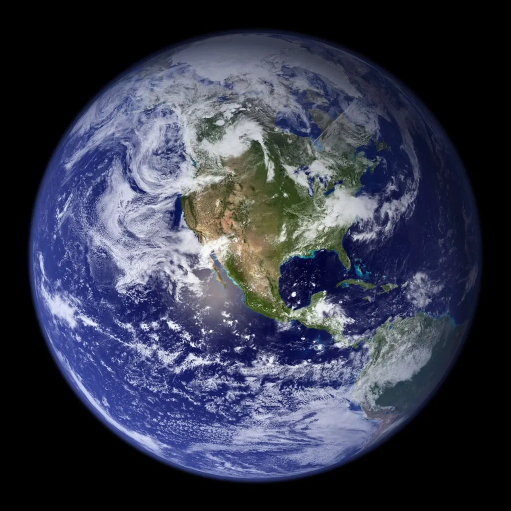
The main technology behind Google Earth is satellite imagery, which is captured by various satellites and then processed to create a high-resolution, three-dimensional model of the Earth’s surface. These images are stitched together and then layered onto a digital model of the Earth, which is known as a “virtual globe.”
Google Earth also uses various other technologies such as Geographic Information Systems (GIS), Global Positioning Systems (GPS), and aerial photography to create a comprehensive view of the Earth.
Users can interact with Google Earth through a desktop application or web browser. They can zoom in and out, rotate and tilt the view, and view different layers of information such as roads, buildings, and points of interest. Users can also create their own customized maps and share them with others.
Overall, Google Earth is a powerful tool that allows users to explore and learn about our planet in new and exciting ways.
How do I view live Google Earth?
Google Earth does not provide live satellite imagery or real-time data. The images available on Google Earth are usually several months or even years old, depending on the location and quality of the imagery.
However, you can use Google Earth to view near-real-time information such as weather and traffic conditions. To view this information, follow these steps:
- Open Google Earth on your desktop or mobile device.
- Click on the “Layers” button in the toolbar on the left-hand side of the screen.
- In the Layers panel, expand the “Weather” or “Traffic” section to view the available options.
- Select the desired layer to view the near-real-time data.
For example, the “Clouds” layer under “Weather” shows near-real-time satellite imagery of global cloud cover. The “Traffic” layer shows live traffic conditions for major cities around the world, including traffic congestion, accidents, and construction.
Keep in mind that these near-real-time layers may not be available for all locations, and the data may not always be completely up-to-date.
Is Google Earth in real time?
Google Earth does not provide real-time imagery of the Earth’s surface. The images available on Google Earth are captured by various satellites and aerial photography, and the processing and distribution of these images can take anywhere from several months to a few years.
While Google Earth does not offer real-time imagery, it does provide some near-real-time information such as weather and traffic conditions. These layers show data that is updated at regular intervals, but it is not in real-time.
However, Google does offer a separate service called Google Earth Live, which streams real-time satellite imagery of the Earth’s surface. This service is not affiliated with the official Google Earth product and is not available to the general public. It is mainly used by government agencies and other organizations for specific purposes such as monitoring weather patterns, natural disasters, and military operations.
How often is Google Earth updated?
The frequency of updates to Google Earth varies depending on the location and quality of the imagery. Some areas are updated more frequently than others due to factors such as weather patterns, population density, and demand for updated information.
In general, Google Earth updates its imagery every 1 to 3 years. However, some areas may be updated more frequently, such as urban areas or locations of high interest, while other areas may not be updated for several years.
Google also updates its data layers and other information more frequently, such as road and building information, which is often updated on a monthly or quarterly basis.
It’s important to note that Google Earth relies on a vast network of data providers and processing systems to create its virtual globe, so the frequency of updates may vary depending on factors beyond Google’s control. Additionally, Google Earth may not have access to the most up-to-date satellite or aerial imagery due to government restrictions or other reasons.
Is there a free live satellite view?
There are some websites that offer free live satellite views of the Earth’s surface, but these views may be limited in quality and coverage. It’s important to note that real-time satellite imagery is a specialized service that is typically only available to government agencies and other organizations with specific needs.
One website that offers free live satellite views is Zoom Earth. This website provides near-real-time satellite imagery of the Earth’s surface, including clouds, storms, and weather patterns. The imagery is updated every few hours and is provided by various satellite sources.
However, it’s important to note that Zoom Earth’s free service is limited in scope and resolution, and the live satellite views may not be available for all areas at all times. Additionally, some live satellite imagery services may have restrictions on use or may require payment for access to higher quality or more frequent updates.
Does Google Earth track your location?
Google Earth has the ability to track your location if you give it permission to do so. This feature can be useful if you want to see your current location on the map or navigate to a specific location.
When you first open Google Earth, you may be prompted to allow location access. If you choose to allow it, Google Earth will use your device’s GPS or other location services to determine your current location.
You can also manually enable or disable location tracking in the Google Earth settings. To do so, follow these steps:
- Open Google Earth and click on the “Menu” button in the top left corner of the screen.
- Select “Settings” from the menu.
- Under “General,” toggle the “Enable Location Services” option on or off.
If you choose to enable location tracking, Google Earth may collect and store information about your location, such as your GPS coordinates, in order to provide you with more relevant content and features. However, this information is not shared with third parties without your consent, and you can always choose to disable location tracking at any time.